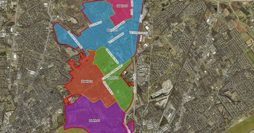
CLARKSVILLE, IN (May 15, 2023) – The Town of Clarksville’s Planning and Zoning department is making it easier for residents to figure out the Town District in which they reside. With the most recent municipal primary elections, Town officials received several phone and email inquiries from residents who were unsure of their candidates. The only identifier available online for residents was a large map of the entire Town and its districts. Unfortunately the map made it difficult for residents living on district boundaries to identify their district.
Using GIS (Geographic Information System) the Planning and Zoning department developed a new interactive district map, which allows residents to zoom in to their home address. You can view the map by clicking here. Residents will now be able to determine their respective district before heading to the polls in November for the general election.
