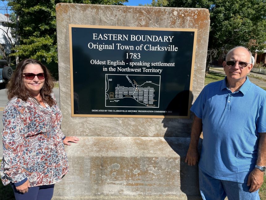
CLARKSVILLE, IN (September 22, 2022) – Do you know where the original town of Clarksville was located? To preserve the history and tell the story of the original town’s location, the Clarksville Historic Preservation Commission installed an original Town map on a large concrete stone near the Town’s eastern boundary. The stone and map can be found along the 1000 block of Harrison Avenue and the Ohio River Greenway.
In 1783 the Virginia Legislature granted General George Rogers Clark 150,000 acres to be divided among the soldiers in his regiment for their Revolutionary War service. The legislature specified that 1000 acres was to be set aside to establish the Town of Clarksville.
The original town’s future looked promising. One-hundred and thirty-five, one-half acre lots were laid out. General Clark built a grist and sawmill along Mill Creek. A stockade named Fort Clark was built to protect families while building their homes. Initially, there were as many as 20 to 30 families living in the town.
Unfortunately, the Town was prone to flooding. Mill Creek ran though the Town, the southern boundary was the Ohio River, and the western boundary was the Silver Creek. Many of residents over time moved elsewhere to find higher ground. The original town virtually vanished by the early to mid-1800s. Over time, Clarksville reestablished itself in less flood prone areas within the remaining 1000 acres and beyond.
Today, about half of the original Town lots are residential, and are located along both Francis Avenue and Kenwood Avenue. The remaining portion of the original Town lots are located within the first phase of Origin Park.
While drivers on Harrison Avenue can see the stone with the boundary information, visitors to the Ohio River Greenway can stop along the trail to view the map.
